Visualizing Sea Level Rise
Funded by Florida Department of State, Division of Historic recources, Small Matching Grant (22.h.sm.300.152)
According to the National Oceanic and Atmospheric Administration(NOAA), sealevel rise began accelerating in Florida 30 years ago. In 2006, therate significantly increased again as sea levels rose by more than a third of an inch annually-along with certain parts of the Floridian coast.Based on a2010 report by the Florida Oceans and Coastal Council (FOCC), the rapid rate of sea-level rise could leadto 25 times moreflooding capable of causing “significant risks to life and property.” The report also states that “Virtually none of Florida’s infrastructure wasbuilt to accommodate significant sealevel rise. Much of the current infrastructure of coastal Florida will need to be replaced or improved assea level rises.” As a result, Florida’s historic properties face potential degradation or destruction.
Global sea level has risen about 8 inches over the last century, and is rising about 4 inches since 1993, according to NASA’s satellite sea level observations.Its rising rate has increased over the last twenty years. It is estimated to rise an additional 12 to 48 inches by 2100.
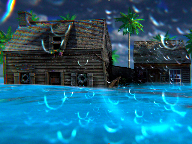
The impact of climate change on the historic heritage and coastal communities is vast and complex. St. Augustine, Florida is prone to flooding, storm surges, and erosion as a low-lying coastal city. The city’s aging infrastructure gets compromised even in light rainstorms, with nuisance flooding regularly closing streets in the historic districts.
Communicating the realness and immediacy of the climate threat is a challenge. Climate change also challenges those trying to prepare for its impacts.Raising environmental literacy, awareness, and engagement from coastal community members and stakeholders is essential to start a conversation and help the stakeholders visualize the impacts of climate change on historic sites and the potential solutions.
Researchers have investigated a positive correlation between experiencing environmentalissues and risk perception, behavior, and attitudes toward them. They have used an immersive experience using virtual reality (VR) technology to promote behavioral or attitudinal change because of its effectiveness in representing the direct experience ofan environmental issue.
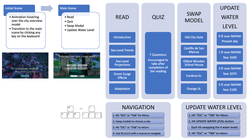
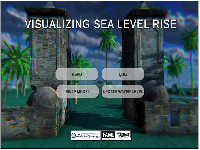
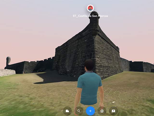
This funded researchinvestigatedhow the sea-level rise (SLR) caused by climate change has an impact on the St. Augustine historic districts, considering nuisance flooding and storm surges. It created aVR like application to visualize SLR impacts on five sites in the historic districts and providedvisual learning information about potential mitigation plans. It used3Dlaser scanning and photogrammetry to generate 3d mesh models of the five sites and the Unity game engine to create a VR environment.
For more information about the Sea level riseand its impact to St. Augustine please see “SLR and its impact”below.
If you want to experience the VR application, please download the VR App for free. It currently works with Windows OS. Please click“VR App Outline” to see how to navigate the App.The VR App for Meta Quest 2 is still under development.